The communities most likely to be cut off in an emergency are often the same ones least likely to appear in a response plan.
That isn’t a complaint. It’s just how maps work. Every emergency response system in the country is built on lines — council boundaries, ward boundaries, regional borders, the quiet edge where “urban” stops being urban and “rural” begins. Those lines do real work. They tell agencies who is responsible for what, and that clarity matters when the pressure is on.
But a flood doesn’t check which council it’s in before it rises. A slip doesn’t pause at a ward boundary. Fire, storm, a road closed by a fallen tree — none of it reads the map. Emergencies move through the landscape as it actually is, not as it’s been drawn.
The communities that live along those lines have known this for a long time. And rather than wait for the map to be redrawn for them, a group of them decided to do something about it.
A network built at the edges
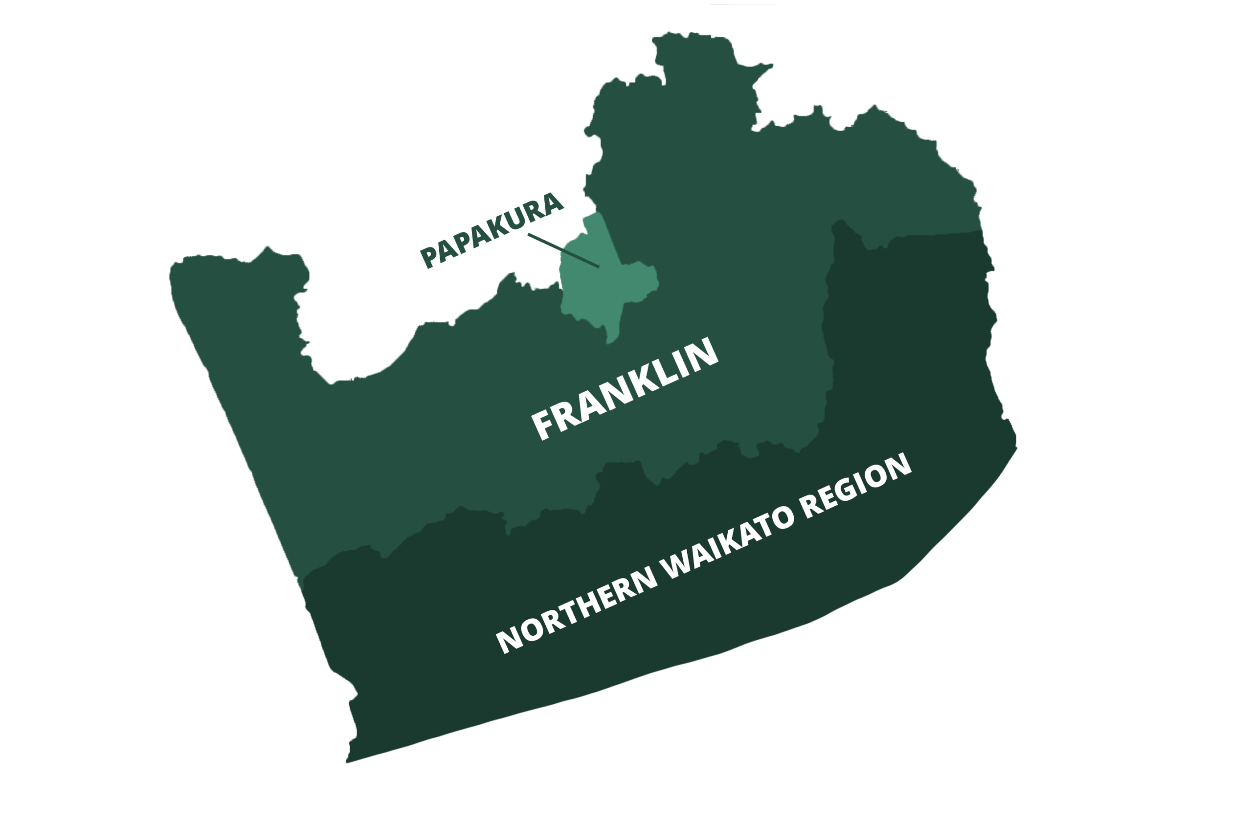
Our network stretches from urban Papakura, through the rural valleys and lifestyle blocks of Franklin, down to the coastal edge at Port Waikato and out along the Awhitu Peninsula. On paper, these are six very different places, sitting across three regional boundaries.
Papakura is the urban gateway — connected, resourced, the hub that others lean on. HAPVRA covers the deep rural country of the Hunua, Ararimu and Paparimu Valleys, where self-sufficiency isn’t a lifestyle choice but a fact of geography: when the road goes, so does the connection to everything else. Buckland sits in transition, caught between the rural place it was and the growing place it’s becoming. Tuakau straddles the council border itself — one community, two response plans, neither one a perfect fit. Port Waikato is the literal end of the road, with a single way in and out and a real tsunami risk. And the Awhitu Peninsula is a long finger of land surrounded by water on three sides, where the distances between neighbours are vast and community connection is the response plan.
What links them isn’t that they’re the same. It’s that each of them, in its own way, sits on a seam — between urban and rural, between Auckland and Waikato, between the formal emergency system and the community that has to act before help arrives. For a long time the seam was treated as a weakness, the gap where things fall through.
We’ve come to see it differently. The seam is where this network gets its strength. Emergency management has traditionally been designed from the centre outward. The communities at the edges, the ones the centre reaches last, have had to build something else — and what they’ve built is a network. Networks behave differently from systems. They bend instead of breaking, and they tend to outlast the structures around them.
Where the system gets tested
As the communities compared notes, the same handful of pressure points kept surfacing. Not failures — pressure points. Places where the way the map is drawn quietly works against the way an emergency actually unfolds.
The first is jurisdictional borders. A council boundary can run straight down the middle of a street, putting neighbours on either side into different response plans, with different coordination channels. The community is one thing; the map says it’s two.
The second is land in transition. Rapid land-use change is reshaping access routes and the make-up of communities faster than emergency planning can keep pace with. The plan describes a place that is already changing underneath it.
The third is coastal and rural isolation. Single egress routes, flood and tsunami exposure, and distances that make standard urban response timelines irrelevant. When there is only one road, the loss of that road is the emergency.
And the fourth is the lifestyle block gap — the growing band of land that is neither fully urban nor fully rural, and so tends to fall between resourcing models built for one or the other.
None of these is anyone’s fault. Each is simply a live demonstration of the same point: again and again, it is the boundary itself that turns out to be the vulnerability.
What we actually built
It would be easy to assume the answer to all this is another committee, or another plan to sit in another folder. It isn’t.
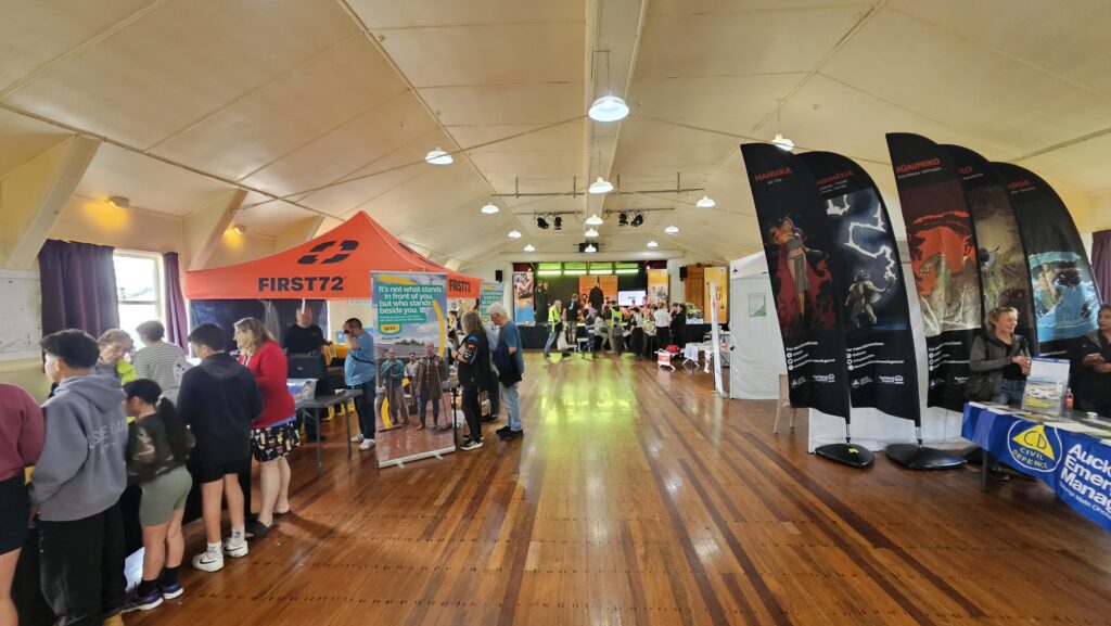
What’s been built is a network — and a network is a living set of relationships, not a structure on an org chart. It’s trust established before the emergency, not improvised during one. It’s the local knowledge that no formal plan can fully capture: who has a tractor, who has a generator, which farmer has an airstrip, which roads go first. It’s coordination that works because the people involved already know each other’s names and can simply pick up the phone.
It is, above all, adaptive — because the communities it serves are adaptive. A single emergency-response model was never going to fit all six of these places. The value of working as a network is that each community keeps its own plan, shaped for its own landscape, while drawing on the ideas, the learning and the resources of the others.
We didn’t wait to be connected. We connected.
A constructive ask
This argument isn’t a criticism of the formal system. It’s an invitation to evolve it — made by people who live and volunteer in these communities and would respond alongside their neighbours when the next event comes.
We believe cross-boundary community resilience networks should be a recognised and resourced part of New Zealand’s emergency response architecture — not a temporary gap-filler, but a designed feature. In practice, that comes down to four principles:
- Plug in, don’t bypass. Formal systems should be designed to connect with community networks at the seam — and to resource them — rather than route around them.
- Plan for the map that’s changing. Communities in rapid transition need adaptive response frameworks, not static plans written for yesterday’s landscape.
- Recognise what already exists. The local capability is already here. The real question is whether emergency planning makes it visible, or leaves it invisible.
- Build what survives the builder. What’s been built here is a model. The question for New Zealand is whether models like this can be captured, resourced and replicated — before the volunteers who built them move on.
That last point matters most. Networks like this one are carried by volunteers, and goodwill alone is not a succession plan. Protecting what’s been built — so it outlasts any one person — is a challenge shared by community groups and formal emergency management alike. It isn’t a problem unique to us. It’s a national conversation worth having.
Not a footnote to it
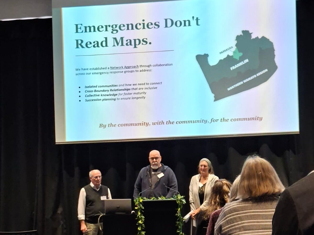
Emergencies don’t read maps. They don’t wait for jurisdictions to coordinate, for agencies to arrive, or for plans to catch up. In the communities most likely to be cut off, the first response is — and always will be — each other.
The communities most likely to be cut off are also, very often, the ones who have already worked out how to look after each other. The job in front of all of us is to make sure that capability is built into the plan.
Not a footnote to it.
The Community Resilience Network brings together communities across Papakura, Franklin and Northern Waikato — including HAPVRA, Buckland and the Tuakau Community Response Group — around a simple idea: by the community, with the community, for the community.
We recently set this argument out in a presentation, “Emergencies Don’t Read Maps,” prepared for the regional CDEM forum. You can read the full presentation here: Emergencies Don’t Read Maps — full presentation (PDF).
If your community sits on one of these seams and you’d like to be part of the network, we’d like to hear from you.


0 Comments