
When American Brian Collins swapped Seattle, Washington for Papakura he didn’t know he’d one day harness the power of Artificial Intelligence to help prepare his friends and neighbours for disaster.
But that’s exactly what he’s done, using AI to gather climate change information on a citywide basis and distil it to make it relevant for his new home area.
A member of the Community Resilience Network, he says locals will be critical to any response in the event of an emergency.
“It isn’t the council that’s going to be able to respond fastest. The truth is, if an emergency hits it’s going to be our ability to help ourselves and our neighbours that is our biggest asset.
“The best thing we can do is to be ready and not need help, because if we do need it, that help gets diverted from some other area that is probably also in crisis.”
“It isn’t the council that’s going to be able to respond fastest. The truth is, if an emergency hits it’s going to be our ability to help ourselves and our neighbours that is our biggest asset.
Brian Collins, CRN Chair
And his work behind the keyboard has taught him something. The ongoing effects of climate change mean it’s a case of when not if that disaster happens.
“Everyone who has been around for a while will tell you they remember the floods of such and such, when the Pahurehure Inlet flowed over the road and nearby park, when the streets were knee-deep in water or a family had to flee their homes.
“Everything I have researched shows we can be sure we are going to see it again, and with climate change, we are going to see adverse events more often and they are only going to get worse.”
But he also says being a doom merchant isn’t that helpful. “The fact is there are simple things we can do to prepare ourselves, and they aren’t actually hard work. It’s basic things like keeping your gutters clear, having gaps under fences so water can flow out, knowing who your neighbours are and how to help them if you need to.
“I like to think of it as being more about social connections. You often hear people moan about how we used to know our neighbours, and this is a good chance to make that happen again. It helps build community just as much as it helps with preparedness.”
What AI told us
Papakura Flood risk profile: From risk to readiness
Information from more than 50 documents, from Auckland Council reports to Environment Ministry and weather analysis, was pulled together to create a picture of what Papakura can expect.
Papakura faces flood risks that are becoming more challenging given climate change, rapid urban growth, more and heavier deluges, tide-locked drainage systems, population growth and with our infrastructure struggling to keep pace.
The research talks of the Papakura area, meaningthe Papakura centre and Takanini, Ōpaheke, Hingaia, Pahurehure, Red Hill and urban Drury.
With a population of around 72,000 – up about 15,000 since 2018, the area will likely see a 1.1metre sea-level rise by 2100.
Multiple risks were detected, including low-lying areas and tide-affected drainage into the Pahurehure Inlet. Some of Auckland’s fastest growth is compounding flood risks at a time when projections show heavier downpours are affecting us more than northern suburbs.
In a nutshell, more people and houses mean more hard surfaces that water can’t drain through, adding pressure to existing drainage that can’t flow into the Pahurehure at high tide.
More than 40 percent of our homes are rented, when the research showstenants are less likely to be insured. It also shows the area’s low tree canopy figure means rain runs off our streets faster, and that they heat up more.
More than 40 percent of our homes are rented, when the research showstenants are less likely to be insured. It also shows the area’s low tree canopy figure means rain runs off our streets faster, and that they heat up more.
We can learn from January 2023, the city’s wettest day on record, when damage ran to the billions and lives were lost. Parts of Takanini and Papakura were flooded and without power.
The floods showed no single factor explains Papakura’s vulnerability, which is why planning solutions must consider the whole picture.
Ōpaheke Park represents an innovative approach to the problem, its 19-hectares acting as a floodable park that doubles as community open space and stormwater infrastructure. Recent decisions have also moved toward avoiding new development in flood-sensitive locations.
Ngaati Tamaoho has also taken a leadership role in proposing joint iwi-community-council initiatives to protect Otaawhati (Ray Small Park) and Pahurehure Inlet. The Drury South Wetlands project incorporated tikanga Māori principles, demonstrating how traditional knowledge can inform modern flood management.
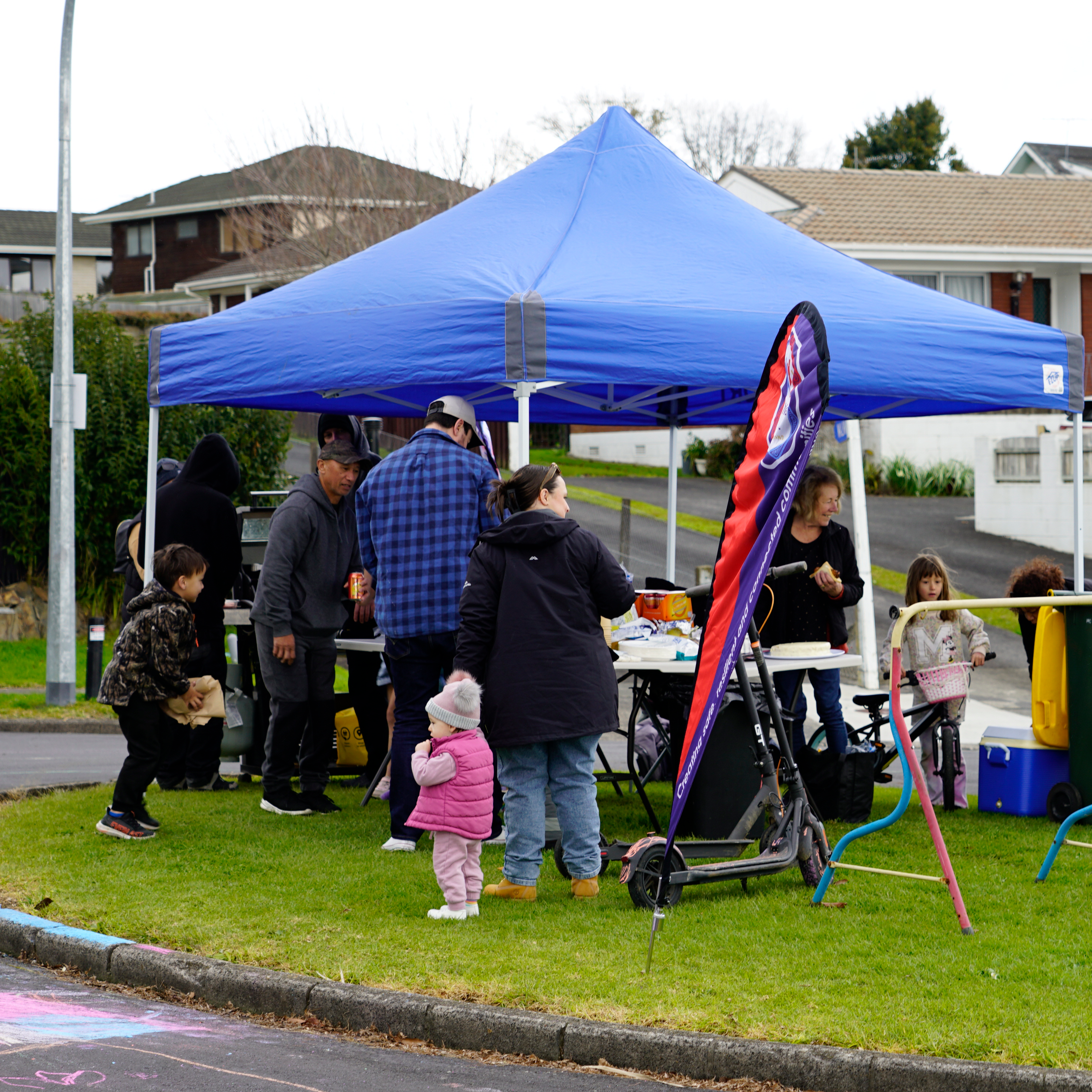
The Community Resilience Network Papakura has been established, focussing on education and preparation for severe flooding events, and building community capacity for emergency responses.
Papakura Local Board’s Getting Climate Ready programme is establishing Community Emergency Hubs and expanding Street Meets so residents know where to go and how to help during extreme weather.
You can read the full researched climate profile for Papakura here: Papakura’s Flood Risk Profile.
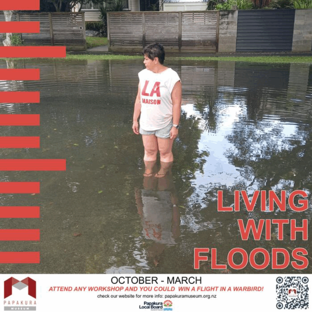
Papakura Museum is hosting a Living With Floods exhibition until March next year.
Papakura Museum: Living with Floods Exhibit
Papakura Museum is hosting a Living With Floods exhibition until March next year.
Community groups and specialists active in climate change, resilience and preparedness for disaster will host information sessions outside the free exhibition into December, Labour Weekend excluded.
Living With Floods – A Century of Floods in the Papakura Region highlights flooding that has shaped the lives of people in the region for more than hundred years.
Part of a major Auckland Council initiative aimed at raising flood awareness and preparedness in the community, the exhibition features historic photographs, interactive tools, community stories, and practical resources.
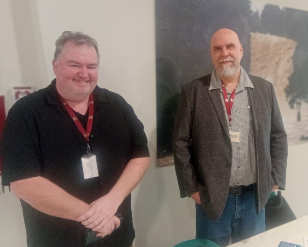
Museum curator Alan Knowles is encouraging people to visit and find out more about the area’s history with weather events.
“Flooding has long been a part of our story, but it’s becoming a more urgent conversation. This exhibition brings together our history and the practical tools people need to stay safe.
“It’s about learning from the past, connecting as a community, and being ready for what’s ahead.”
The exhibition was formally opened by mana whenua Ngaati Tamaoho, whose presence in the area predates European settlement, and whose own history has been shaped by climate and adapting to it over the centuries.
Papakura Museum is at Level 2, 209 Great South Road, opposite the Sir Edmund Hillary Library. It’s open weekdays from 10am–4.30pm, and until 6pm on Wednesdays. It also opens its doors on Saturdays from 10am–3pm. Admission is free, although donations are welcome. As a bonus, anyone who attends one of the Saturday flood resilience workshops can go in a draw to win a ride in a warbird aircraft.

0 Comments